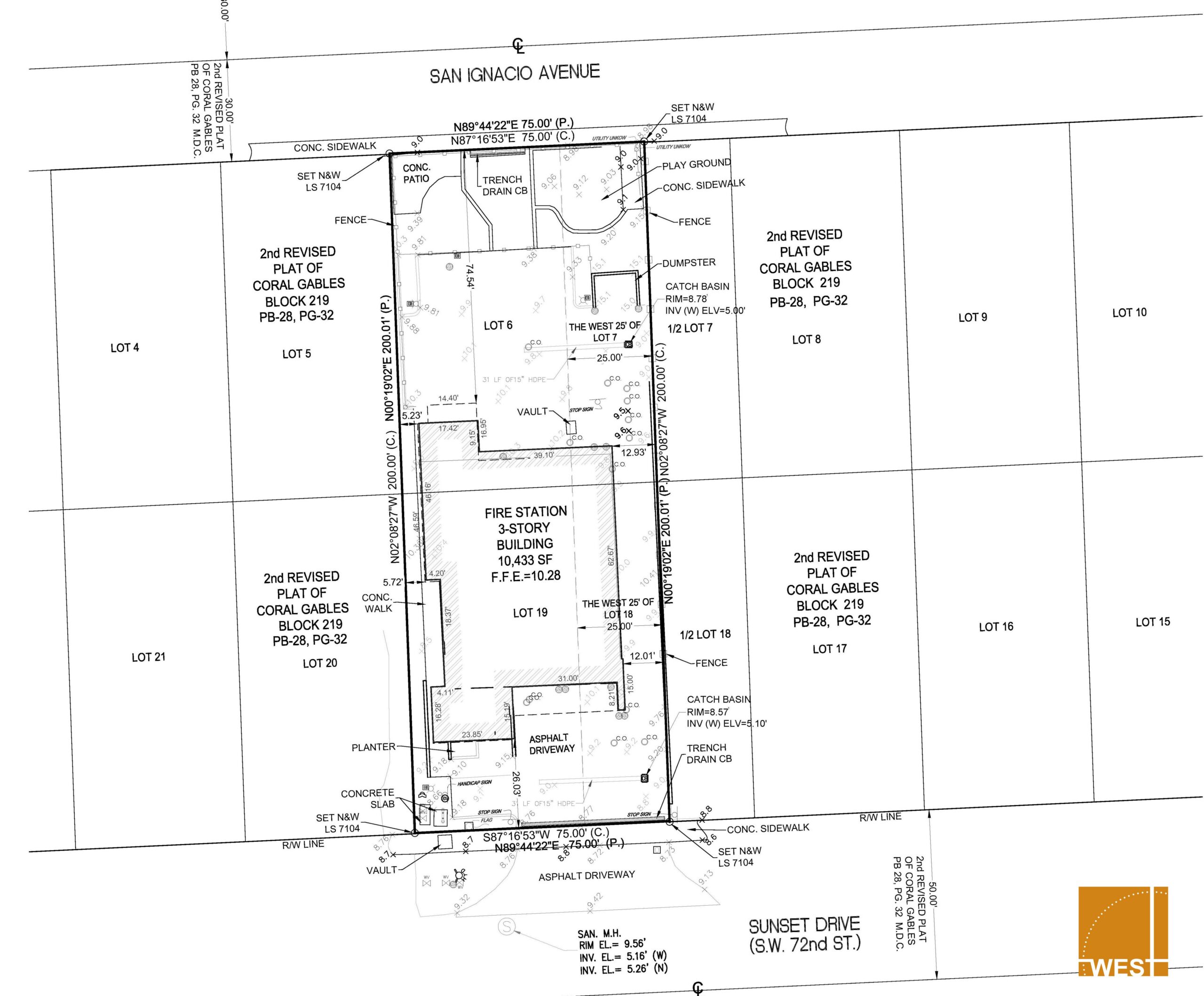
An accurate boundary survey is one of the most important tools in protecting property ownership, avoiding disputes, and ensuring that decisions involving land are made with confidence. Whether it involves residential property, commercial real estate, agriculture, municipalities, utilities, development, lending, or construction, understanding the exact limits and conditions of a property is critical.
A boundary survey is more than simply locating property corners. It is the professional process of verifying property lines based on recorded documents, plats, easements, rights-of-way, field evidence, and existing site conditions. It establishes the legal limits of ownership and identifies potential issues that may impact the use or value of a property.
When a boundary survey is inaccurate or outdated, the consequences can become costly very quickly. Property line disputes, encroachments, permitting issues, title concerns, utility conflicts, and legal complications often stem from incorrect or incomplete survey information. In many cases, these issues are not discovered until after improvements have already been made or transactions have already closed.
An accurate boundary survey helps identify:
For property owners, a boundary survey provides confidence in knowing exactly what they own and where those boundaries exist. For buyers and lenders, it helps confirm that the property aligns with legal descriptions and title commitments. For municipalities and utility providers, accurate surveys assist with infrastructure planning, easement coordination, and future improvements.
In industries such as real estate and development, accurate boundary information is essential during due diligence. Before purchasing, financing, subdividing, or improving a property, understanding the true conditions of the site can prevent significant financial exposure later. Even something as simple as a fence, driveway, utility line, or landscape feature crossing a property line can create long-term legal and financial complications.
Accurate surveying also plays an important role in long-term planning and asset protection. As properties change hands, improvements are added, and surrounding development occurs, having a professionally prepared survey creates a reliable record of property conditions at a specific point in time.
In today’s environment, where land values continue to increase and projects move quickly, taking shortcuts on surveying is simply not worth the risk. An accurate boundary survey provides clarity, protects investments, reduces liability, and helps avoid unnecessary disputes and delays.
At the end of the day, boundary surveys are about more than lines on a map — they are about protecting property rights, supporting informed decisions, and ensuring accuracy from the very beginning. No matter the industry, having reliable boundary information is one of the smartest investments a property owner or organization can make.